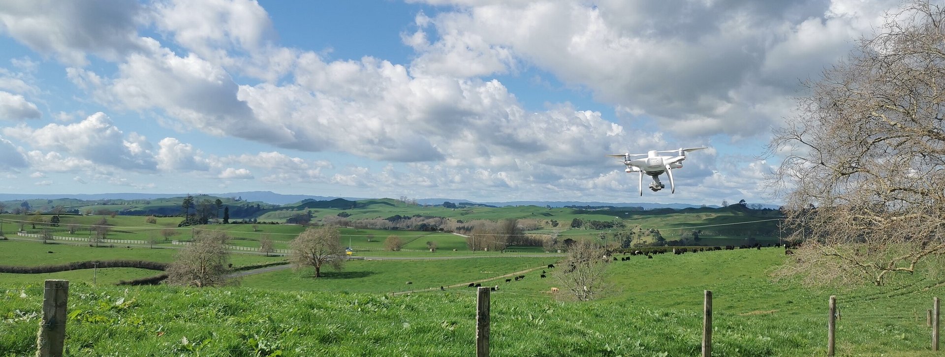
UAV Services
Using UAV (Unmanned Aerial Vehicle or drone) technology, we are able to capture aerial images to enable us to survey larger areas of land quickly, access areas of steep terrain or hazardous environments. UAV technology has developed rapidly within the last few years, fast becoming seen as a cost-effective method of quickly and accurately surveying and mapping landforms and watercourses. Data can be extracted from the images gathered to create surface contours, digital terrain models, or structure or feature details as required.

UAV services are useful for:
Creating our subdivision scheme plans to illustrate contours, natural features, and boundaries;
Accurately mapping ecological areas such as native bush and wetland areas
Construction compliance and progress monitoring
Building inspections
Archaeology mapping
Forestry and farm mapping
Quarry and mining compliance
Coastal erosion